Anchorage Map
Anchorage is the largest city in Alaska and the hub of travel throughout Southcentral Alaska. Anchorage is about 120 miles north of Seward and 350 miles south of Fairbanks. Although 130 miles away from Denali, the tallest mountain in North America can be seen from Anchorage on clear days.
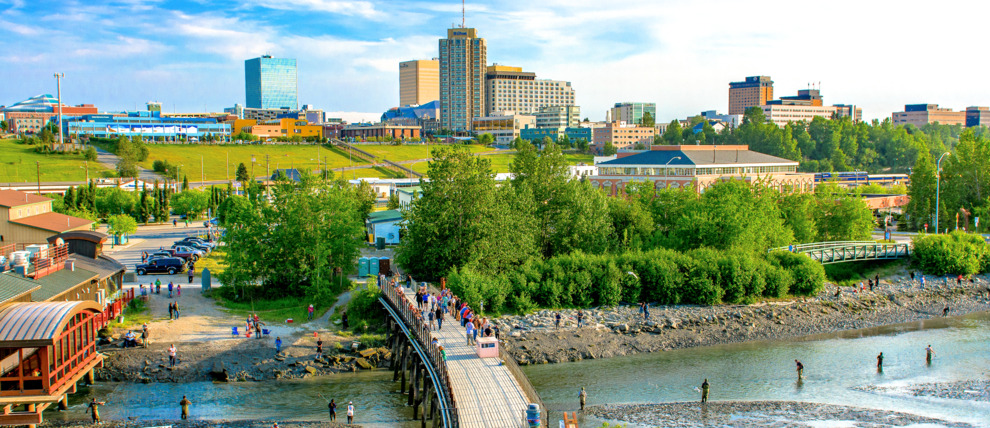
The city itself is situated at a confluence of three major waterways, the Knik Arm, Turnagain Arm, and Cook Inlet. Mountains of the Chugach State Park border the city to the east. Most visitor activity centers around the downtown area where there are several hotels, restaurants, shops, and the Anchorage Depot. The Ted Stevens International Airport is in west Anchorage less than six miles from downtown. Much of the city is connected by a network of paved biking and walking trails.
There are two highways through Anchorage. Heading south is the Seward Highway and heading north is the Glenn Highway. The Alaska Railroad runs directly through Anchorage with daily trains connecting to Seward, Whittier, Talkeetna, Denali Park, and Fairbanks. Anchorage is also the hub for the Park Connection Motorcoach.
